About
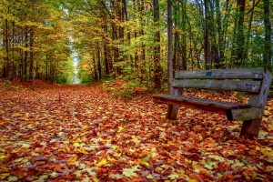
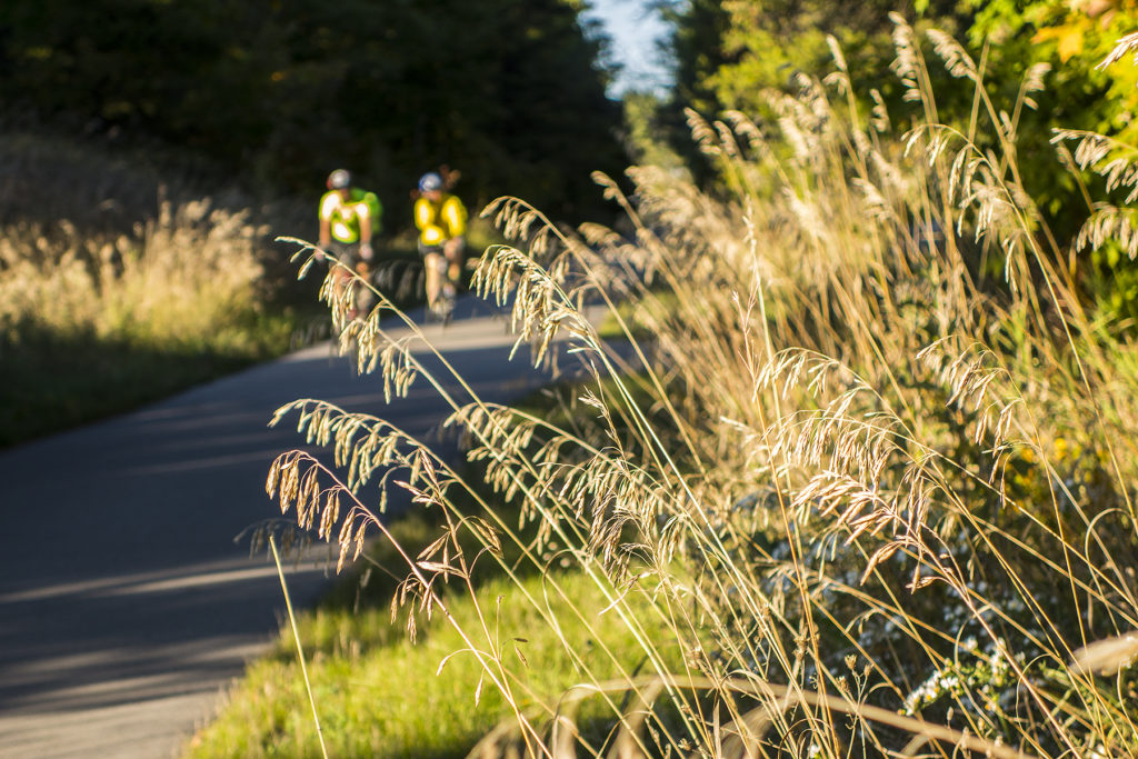
The 17-mile Leelanau Trail provides a paved off-road connection between Traverse City and Suttons Bay. Running through the last of Leelanau County’s former railroad corridors, the Leelanau Trail features picturesque forests, farms, vineyards, lakes, and ponds.
The Leelanau Trail is the only trail within the TART Trails network entirely owned and operated by TART Trails, Inc. It was born from a passionate community that continues to support it today. Throughout the spring, summer, and fall, the all-volunteer Leelanau Trail Maintenance Crew works on continual improvements to provide a world-class trail experience for trail users.
- Distance: 17 miles
- Surface: Paved
- ADA Accessibility: Fully accessible
- Winter Grooming: Groomed from DeYoung Natural Area to 4th Street trailhead as conditions permit for classic and skate skiing, fatbiking, and snowshoeing
Parking
- Trailheads available at Cherry Bend Rd, Fouch Rd, Shady Lane, and 4th St in Suttons Bay.
- Additional parking at Leelanau Studios parking lot, 1/3 mile east of Cherry Bend Rd trailhead.
- Note for Drivers: Please avoid parking within 100 feet of the trail for improved intersection visibility.
Restrooms
- Restrooms: Portalets available during summer months at Cherry Bend trailhead, DeYoung Natural Area (1 mile north of Cherry Bend Rd), and near the water treatment plant between Richter and Eckerle Rd in Suttons Bay.
- Additional Facilities: Public restrooms at the Suttons Bay village marina (seasonal). Trail users may also use restrooms at Inland Seas Education Association (ISEA) across M-22 next to Boone’s restaurant, open Monday through Friday, 9:00 AM – 5:00 PM.
Points of Interest
- DeYoung Natural Area: The trail bisects this 191-acre area for 3/4 of a mile. From the Cherry Bend parking lot, a Universal Access trail (0.2 miles) leads to a lakeside fishing and viewing platform overlooking Cedar Lake’s protected shoreline. Visitors can continue onto The Cedar Forest Trail (1/2 mile) through a hardwood conifer swamp with views of an old field meadow.
- Leo Creek Preserve: A seven-acre preserve featuring a permaculture landscape, coldwater stream, and community gathering space. Open to the public and hosting school groups, artists, and elder care groups.
- Historic Potato Barn: Between Shady Lane and Whittaker Road, visitors can see the remains of a historic fieldstone potato barn.
Additional Information
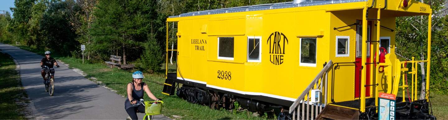
- Bike-N-Ride: TART Trails collaborates with Traverse City area’s transit service on a unique program that offers bus rides for you and your bike if you choose not to bicycle round trip on the 17-mile Leelanau trail between Traverse City and Suttons Bay. BATA’s BIG BIKE BUS fits up to eleven bikes seven days a week from May – October and can pick your family up or drop them off at Downtown Traverse City, Leelanau Studios on M-22, Cherry Bend Park, Fouch Rd Trailhead (near Farm Club!), Shady Lane Trailhead, Suttons Bay Library, and Leelanau Sands Casino. Click HERE for more details.
- USBR 35: The Michigan portion of US Bicycle Route 35 extends 501-miles from Sault Ste. Marie in the north to New Buffalo in the southwest corner, passing through our area along the TART Trail and Leelanau Trail. US Bicycle Routes are carefully selected to offer safe connections for road cycling between urban, suburban and rural communities. TART Trails is currently working to have signage installed along our portion of the route. View the entire USBR 35 route at BikeTouringRoutes.com.
- Hunting: Not permitted on the Leelanau Trail, but allowed on adjacent private properties. Trail users should wear blaze orange or bright colors during hunting seasons.