The MDOT reconstruction of Grandview Parkway is underway. MDOT has many different phases of the project with non-motorized detours changing regularly. This detour map is our suggested bike/ped route from March through May. There may be some closures and/or barriers for construction vehicles and equipment along the TART at times. Use caution.
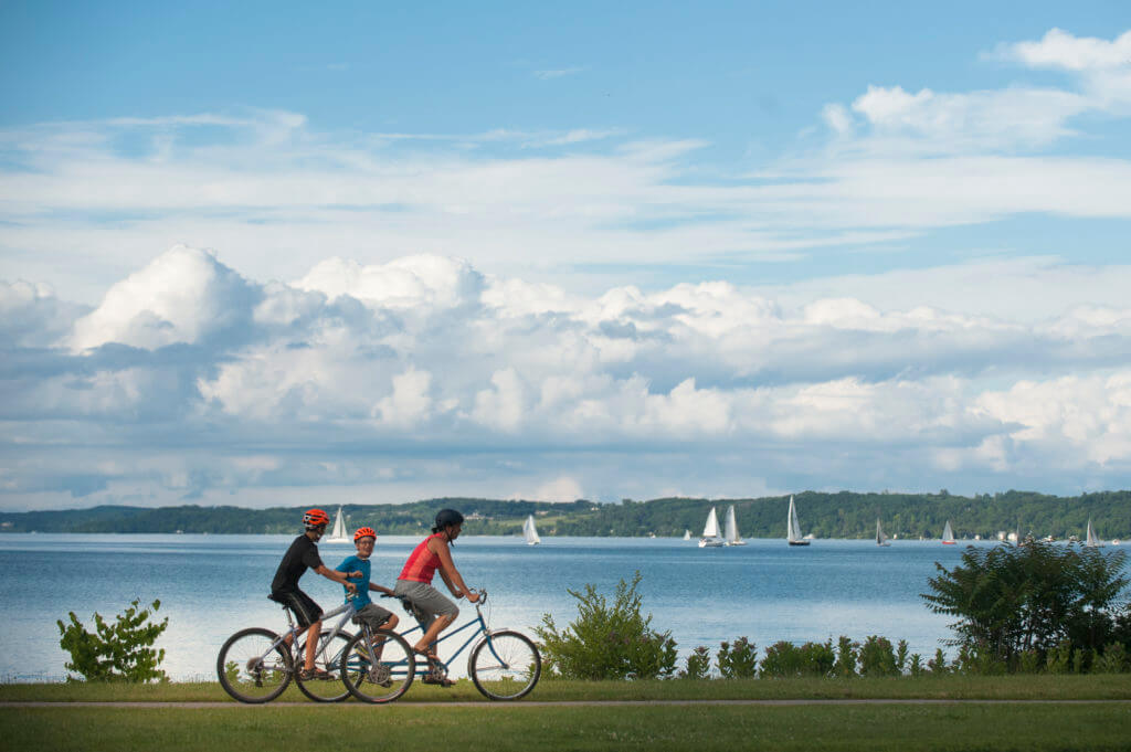
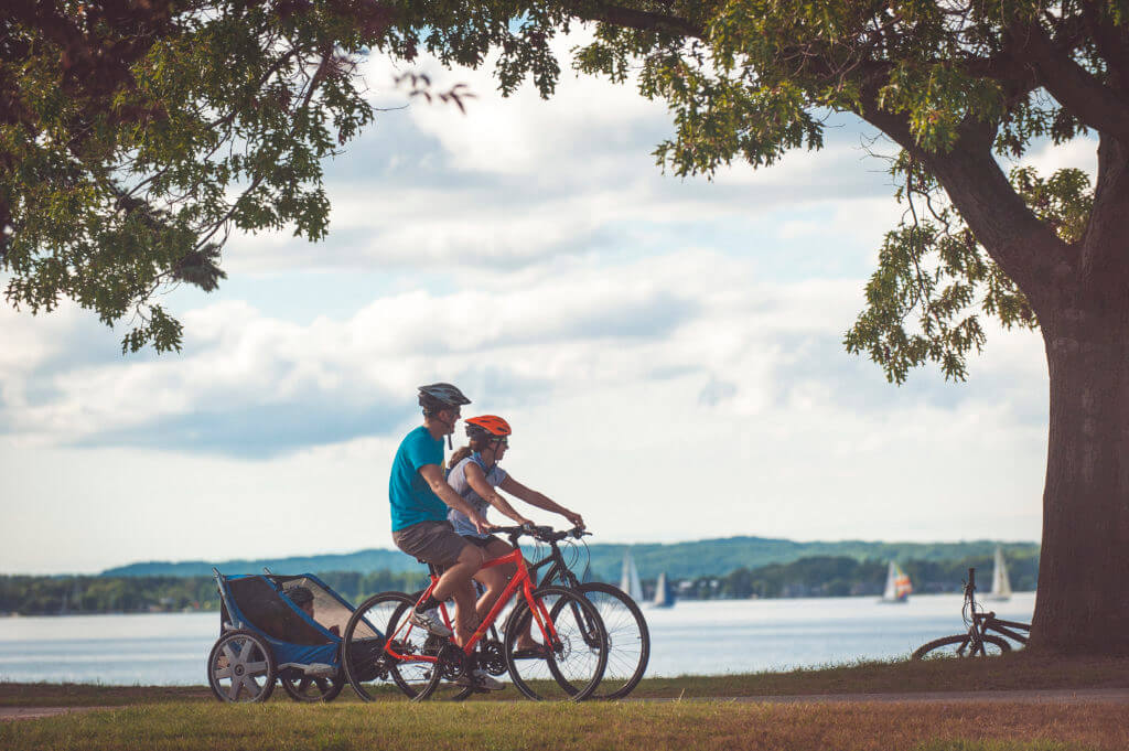
The 10.5 mile long Traverse Area Recreation Trail (TART) is a paved urban transportation and recreation corridor with an eastern end point at M-72/Bates Rd in Acme Township and a western endpoint at Carter Rd in Traverse City, where it links with the Leelanau Trail. The 2 mile Acme Connector, the southernmost segment of the Nakwema Trailway, connects the TART Trail and Acme, providing safe access to businesses, existing trails, and recreation opportunities. It connects the current TART Trail terminus at Bunker Hill Road to the intersection of M-72 and US-31 in Acme. A section of the trail runs east toward the Acme Meijer store and Grand Traverse Town Center development.
The TART connects you to:
- Resorts, shops, and restaurants
- Recreation areas including Reffitt Nature Preserve and several City Parks including Clinch Park Marina and Beach
- Other trails including Boardman Lake Trail, Three Mile Trail, and the Leelanau Trail
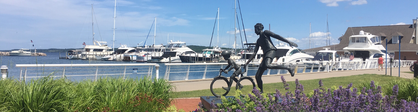
- Downtown Traverse City
- Local neighborhoods
- Several bike shops
- The State Park campground
The City of Traverse City was awarded a MDOT Enhancement Grant to the to extend the TART along the north side of M-72/West Grandview Parkway from the parking lot at West End Beach to Elmwood Avenue where a pedestrian crossing will be constructed across M-72/West Grandview Parkway.
The TART between Carter Rd and Aero Park Dr is owned by the City of Traverse City. Aero Park Dr to the Bates/Lautner section is owned by the Grand Traverse County Road Commission. TART Trails works with the City and County on trail projects.
Parking
Parking is available at several parks and Traverse City public parking lots near the trail. Thanks to the generosity of Woodland Creek Furniture, Meijer of Traverse City and Meijer of Williamsburg for allowing trail users to park in their lots.
Map
PDF of TART map here.
Mileage chart here.